
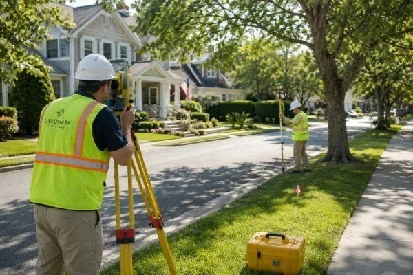
Getting a Topographic and Boundary Survey Will Save You Time and Money!
Before permits, before design, before anyone can say for certain whether a lot can support an ADU — there's one step that gets skipped more often than it should: a boundary and topographic survey.
It sounds like a technicality. It isn't. Here's why it matters.
1) It tells you where the lot actually ends.
Fences, hedges, and old property records are often wrong — sometimes by feet, sometimes by more. A licensed survey establishes the legal boundary lines, which determines exactly how much buildable area exists and whether required setbacks even leave room for an ADU.
2) It uncovers easements before they can derail a design.
When a surveyor is provided with a title report, they can plot every easement on the property — not just note that one exists, but show exactly where its boundaries fall. That distinction matters, because most easements prohibit construction within their boundaries altogether, and public utility easements often carry their own additional setback requirements beyond the easement line itself. City plan reviewers almost always catch easement conflicts — but if that's the first time they surface, it's after a design has already been drawn, submitted, and rejected. Identifying easements during the survey, before design begins, avoids an expensive and time-consuming redesign later in the process.
3) It locates overhead power lines — which come with their own setback rules.
A survey won't map underground utilities, but it does locate overhead power lines. That matters because electrical companies dictate required setbacks for structures from those lines, separate from standard zoning setbacks. Miss that, and an otherwise-buildable lot suddenly isn't — at least not where it was hoped.
4) Topography drives cost.
Slope, drainage patterns, and elevation changes across a lot directly affect foundation type, grading, and drainage design — all of which affect the budget. A lot that looks flat to the eye can have enough grade change to add thousands to a project if it's not identified early. If topography is not properly accounted for it can lead to thousands or even tens of thousands in change orders and engineering delays.
5) It's legally required later in the process — so skipping it now just delays the inevitable.
Once foundation forms are set, city inspectors require a setback certification ("forms cert") before they'll allow the foundation pour — confirming the structure isn't encroaching on any setback, property line or easement. Under California law, a surveyor can't issue that certification without a survey that's been reviewed and approved by the local surveying authority (in San Diego County, that's the Survey Records department). Skip the survey early on, and the project doesn't avoid this step — it just hits it later, mid-construction, when a delay is far more expensive.
6) It prevents the worst kind of delay.
Nothing stalls a project like a rejected plan set or an unexpected redesign after construction is already underway. A survey done up front, and approved early with the county, avoids that entirely.
A proper boundary and topographic survey, completed and approved before design begins, is one of the highest-leverage steps in the entire ADU process — it typically costs $3K - $7K and takes 1-2 weeks to finalize, and it saves far more than that in avoided redesign, delays, or rejected permits down the line.
If you have an ADU project in the works — or a client who does — give ADU Pros a call. We'll walk through the survey, the setback questions, and everything else that determines whether a project moves smoothly from lot to livable space.